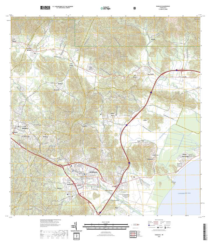
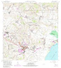
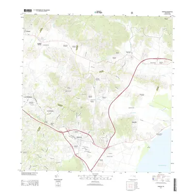
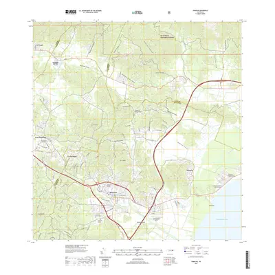
2024 Map of Humacao
USGS Topo · Published 2024About this map
The coastal and mountainous landscapes of eastern Puerto Rico meet at the municipality of Humacao, where the urban center transitions into the agricultural and residential outskirts of Patagonia and Santa Teresa. The topography rises sharply toward the north into the protected heights of El Yunque National Forest, containing the El Toro Wilderness and the headwaters of the Rio Icacos Wild and Scenic River. This survey reveals a dense network of watercourses, including the Rio Humacao and Rio Blanco, which have historically shaped the settlement patterns and transit corridors of the region.
Find a feature on this map
84 named features on this map. Tap any name to fly to it.
Don’t see what you’re looking for? This feature index may not catch every label — zoom into the map to look around manually.
Map Details
Editions of this 2024 Humacao Map
This is the sole edition of this map. No revisions or reprints were ever made.
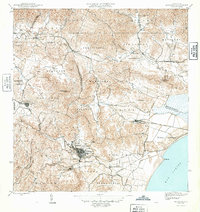
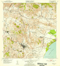
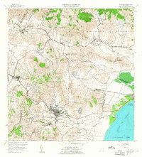
Historical Maps of Humacao Through Time
7 maps found
Featured Locations
- Sector Gaspar F. Meléndez, Las Piedras
- Sector Geño López, Las Piedras
- Las Piedras, Las Piedras
- Brisas del Río, Humacao
- Humacao, Humacao