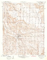
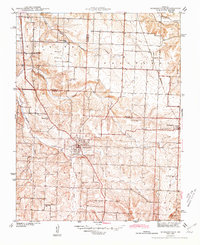
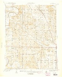
1944 Map of Humansville
USGS Topo · Published 1944About this map
Humansville and the neighboring village of Flemington anchor this 1940s landscape where the Ozarks meet the plains. The St Louis San Francisco railroad cuts a north-south line through the terrain, serving as a primary corridor for these rural communities. The map captures a well-distributed network of country schoolhouses, including Locust Grove Sch, Vine Hill Sch, and Rose Bud Sch, illustrating the educational structure of Missouri's township system before widespread school consolidation.
Find a feature on this map
26 named features on this map. Tap any name to fly to it.
Don’t see what you’re looking for? This feature index may not catch every label — zoom into the map to look around manually.
Map Details
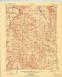
Editions of this 1944 Humansville Map
3 editions found
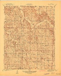
Other maps of this area

1884 · Bolivar
USGS Topo · 1:125,000

1886 · Stockton
USGS Topo · 1:125,000

1892 · Bolivar
USGS Topo · 1:125,000
1938 · Vista
USGS Topo · 1:24,000
1939 · Arnica
USGS Topo · 1:24,000
1940 · Vista
USGS Topo · 1:24,000

1940 · Weaubleau
USGS Topo · 1:24,000
1941 · Arnica
USGS Topo · 1:24,000

1942 · Elkton
USGS Topo · 1:24,000

1944 · Humansville
USGS Topo · 1:24,000