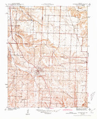
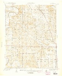
1944 Map of Humansville
USGS Topo · Published 1944About this map
Humansville serves as the primary hub of this 1940s survey, situated where the St Louis San Francisco railroad and Highway 13 intersect. The landscape is defined by the headwaters of the South Fork Weaubleau Creek and the sweeping Round Prairie to the north, giving way to the dissected drainage of Panther Creek and Brush Creek in the south. This era reveals a densely organized rural society, evidenced by the numerous district schools that served the farming population.
Find a feature on this map
27 named features on this map. Tap any name to fly to it.
Don’t see what you’re looking for? This feature index may not catch every label — zoom into the map to look around manually.
Map Details
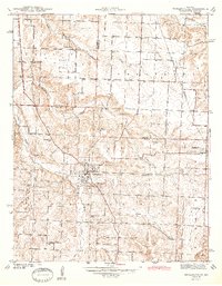
Editions of this 1944 Humansville Map
3 editions found
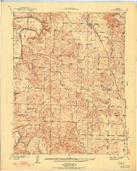
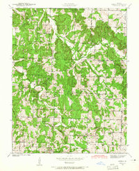
Other maps of this area

1884 · Bolivar
USGS Topo · 1:125,000

1886 · Stockton
USGS Topo · 1:125,000

1892 · Bolivar
USGS Topo · 1:125,000
1938 · Vista
USGS Topo · 1:24,000
1939 · Arnica
USGS Topo · 1:24,000
1940 · Vista
USGS Topo · 1:24,000

1940 · Weaubleau
USGS Topo · 1:24,000
1941 · Arnica
USGS Topo · 1:24,000

1942 · Elkton
USGS Topo · 1:24,000

1944 · Humansville
USGS Topo · 1:24,000