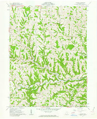
1961 Map of Hunter
USGS Topo · Published 1963About this map
Horeb Ch and its associated cemetery sit at the heart of this 1961 topographic survey, centered in a landscape of deep-cut ridges and winding stream valleys. The area is defined by the complex drainage of Captina Creek, where tributaries like North Fork and South Fork carve through the townships of Goshen, Wayne, and Washington. Small rural centers such as Hunter and New Castle serve as focal points for a community connected by winding routes like 148 and 145.
Find a feature on this map
35 named features on this map. Tap any name to fly to it.
Don’t see what you’re looking for? This feature index may not catch every label — zoom into the map to look around manually.
Map Details
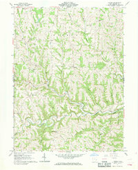
Editions of this 1961 Hunter Map
2 editions found
Other maps of this area

1903 · Flushing
USGS Topo · 1:62,500

1905 · Clarington
USGS Topo · 1:62,500

1905 · St. Clairsville
USGS Topo · 1:62,500

1905 · Woodsfield
USGS Topo · 1:62,500

1905 · Flushing
USGS Topo · 1:62,500

1935 · Clarington
USGS Topo · 1:62,500

1940 · Clarington
USGS Topo · 1:62,500

1949 · Clarksburg
USGS Topo · 1:250,000

1951 · Canton
USGS Topo · 1:250,000

1953 · Canton
USGS Topo · 1:250,000