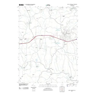
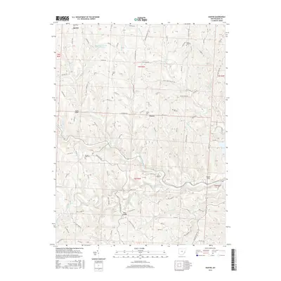
1961 Map of Hunter
USGS Topo · Published 1970About this map
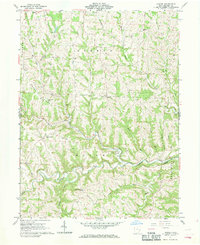
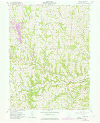
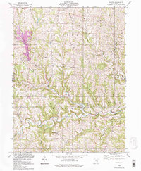
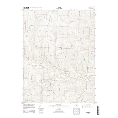
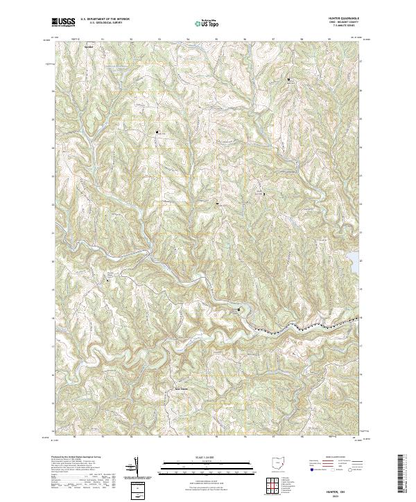
Captina Creek winds through the southern reaches of this landscape, its path fed by numerous tributaries like Mikes Run and South Creek. The 1961 field survey reveals a terrain defined by rural ridges and hollows, where local life centered around small settlements and hilltop churches. At Speidel in the northwest and New Castle to the south, the pattern of settlement follows the high ground and valley floors. Cultural landmarks are frequent, including Chestnut Level Ch and Horeb Ch, alongside several family and community graveyards such as Center Cem. Along Sandy Ridge, the Sandy Ridge Ch sits prominently, while industrial activity is noted by a Gravel Pit and scattered Mine sites. A notable Ford crossing on the North Fork indicates the era's reliance on established river passages for local travel across the Belmont County countryside.
Find a feature on this map
38 named features on this map. Tap any name to fly to it.
Don’t see what you’re looking for? This feature index may not catch every label — zoom into the map to look around manually.
Map Details
Editions of this 1961 Hunter Map
2 editions found
Historical Maps of New Castle Through Time
25 maps found
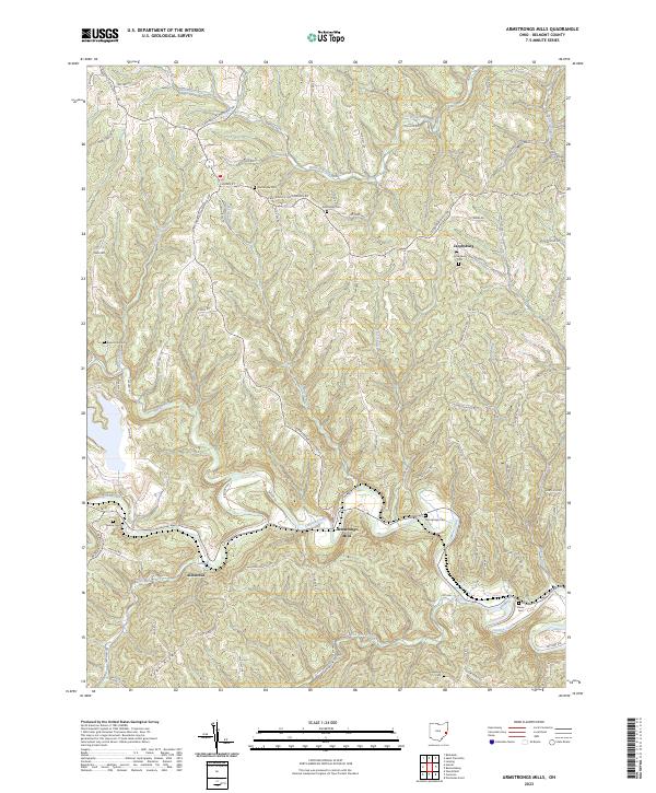
1960 Armstrongs Mills
Belmont County, OH
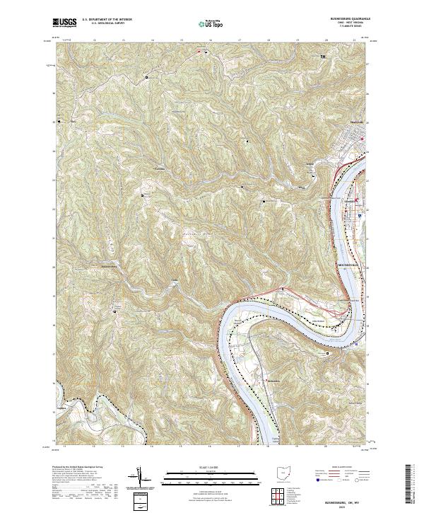
1960 Businessburg
Belmont County, OH
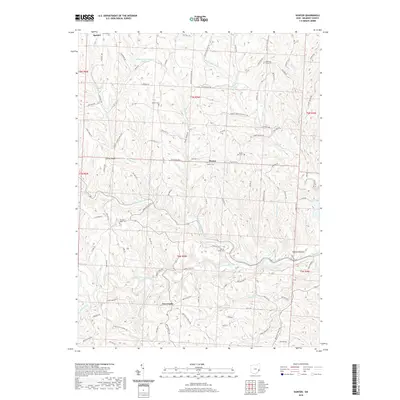
1961 Hunter
Belmont County, OH
1975 Hunter
Belmont County, OH
1994 Hunter
Belmont County, OH
2010 Armstrongs Mills
Belmont County, OH
2010 Hunter
Belmont County, OH
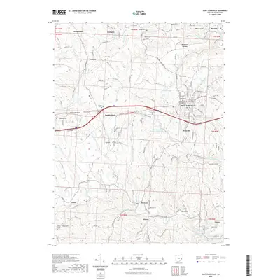
2010 Saint Clairsville
Belmont County, OH
2011 Businessburg
Belmont County, OH
2013 Armstrongs Mills
Belmont County, OH
2013 Businessburg
Belmont County, OH
2013 Hunter
Belmont County, OH
2013 Saint Clairsville
Belmont County, OH
2016 Armstrongs Mills
Belmont County, OH
2016 Businessburg
Belmont County, OH
2016 Hunter
Belmont County, OH
2016 Saint Clairsville
Belmont County, OH
2019 Armstrongs Mills
Belmont County, OH
2019 Businessburg
Belmont County, OH
2019 Hunter
Belmont County, OH
2019 Saint Clairsville
Belmont County, OH
2023 Armstrongs Mills
Belmont County, OH
2023 Businessburg
Belmont County, OH
2023 Hunter
Belmont County, OH
2023 Saint Clairsville
Belmont County, OH