
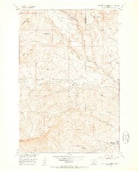
1951 Map of Hunters Hot Springs
USGS Topo · Published 1953About this map
Hunters Hot Springs serves as the focal point for this section of south-central Montana, where the local economy and social life once revolved around the thermal waters and sprawling ranching operations. The map documents a landscape in transition during the early 1950s, marked by numerous sites such as the Roebacker Homestead and Green School that were already identified as abandoned. These remnants of early settlement are scattered along the drainage of Duck Creek and its various forks, including the West Fork.
Find a feature on this map
34 named features on this map. Tap any name to fly to it.
Don’t see what you’re looking for? This feature index may not catch every label — zoom into the map to look around manually.
Map Details
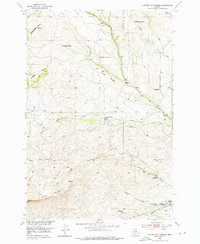
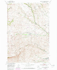
Editions of this 1951 Hunters Hot Springs Map
4 editions found
Other maps of this area

1891 · Livingston
USGS Topo · 1:250,000

1893 · Livingston
USGS Topo · 1:250,000

1947 · Bozeman
USGS Topo · 1:250,000

1948 · Bozeman
USGS Topo · 1:250,000

1951 · Ibex Mountain
USGS Topo · 1:24,000

1951 · Grannis
USGS Topo · 1:24,000
1951 · Raspberry Butte
USGS Topo · 1:24,000

1951 · Kelly Hills
USGS Topo · 1:24,000

1951 · Springdale
USGS Topo · 1:24,000

1951 · Elton
USGS Topo · 1:24,000