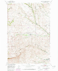
1951 Map of Hunters Hot Springs
USGS Topo · Published 1981About this map
Hunters Hot Springs serves as the focal point for this survey along the border of Park and Sweet Grass counties. The landscape is characterized by a transition from the drainage of West Fork Duck Creek in the north to the elevations of Sheep Mountain and Antelope Butte. A striking feature of this era's settlement pattern is the prevalence of sites marked as abandoned, such as the Roebecker Homestead and Green School, suggesting a period of rural consolidation or shift in land use.
Find a feature on this map
32 named features on this map. Tap any name to fly to it.
Don’t see what you’re looking for? This feature index may not catch every label — zoom into the map to look around manually.
Map Details
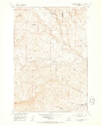
Editions of this 1951 Hunters Hot Springs Map
4 editions found
Other maps of this area

1891 · Livingston
USGS Topo · 1:250,000

1893 · Livingston
USGS Topo · 1:250,000

1947 · Bozeman
USGS Topo · 1:250,000

1948 · Bozeman
USGS Topo · 1:250,000

1951 · Ibex Mountain
USGS Topo · 1:24,000

1951 · Grannis
USGS Topo · 1:24,000
1951 · Raspberry Butte
USGS Topo · 1:24,000

1951 · Kelly Hills
USGS Topo · 1:24,000

1951 · Springdale
USGS Topo · 1:24,000

1951 · Hunters Hot Springs
USGS Topo · 1:24,000