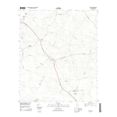
2014 Map of Hunters
USGS Topo · Published 2014About this map
The Ogeechee Cr and its associated bottomlands define the southern boundary of this Screven County region, where the Georgia coastal plain begins its slow rise from the river valley. In the north, the county seat of Sylvania serves as a primary hub, while the Ga-21 corridor, also known as the Savannah Hwy, carves a straight path southeast through the small communities of Green Hill, White Hill, and Hunters.
Find a feature on this map
59 named features on this map. Tap any name to fly to it.
Don’t see what you’re looking for? This feature index may not catch every label — zoom into the map to look around manually.
Map Details
Editions of this 2014 Hunters Map
This is the sole edition of this map. No revisions or reprints were ever made.
Other maps of this area

1918 · Oliver
USGS Topo · 1:62,500

1919 · Shirley
USGS Topo · 1:62,500

1920 · Hilltonia
USGS Topo · 1:62,500

1920 · Oliver
USGS Topo · 1:62,500

1920 · Peeples
USGS Topo · 1:62,500

1943 · Hilltonia
USGS Topo · 1:62,500

1943 · Peeples
USGS Topo · 1:62,500

1943 · Shirley
USGS Topo · 1:62,500

1943 · Millen
USGS Topo · 1:125,000

1943 · Oliver
USGS Topo · 1:62,500