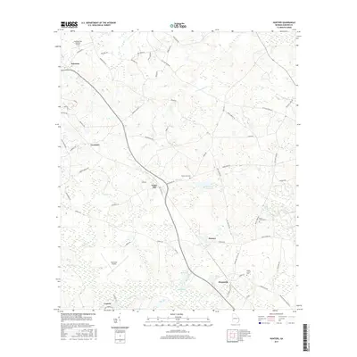
2017 Map of Hunters
USGS Topo · Published 2017About this map
Sylvania anchors the northwestern corner of this Screven County landscape, where the local road network radiates toward smaller rural communities like Farmdale, Hunters, and Sheppards. The terrain is defined by the winding paths of Ogeechee Cr and Black Cr, which support localized features such as Grist Mill Pond. This 2017 survey reflects a largely agricultural and residential region, punctuated by private aviation sites including Plantation Airpark and the Landings East Sylvania Airport. Cultural landmarks such as Black Creek Cem and Middle Ground Cem provide vital anchor points for genealogists tracing family roots in this corner of Georgia. The transition from established town centers to the creek-fed lowlands illustrates the persistent rural character of the area, even as modern infrastructure like Old State Rte 21 connects these disparate settlements.
Find a feature on this map
61 named features on this map. Tap any name to fly to it.
Don’t see what you’re looking for? This feature index may not catch every label — zoom into the map to look around manually.
Map Details
Editions of this 2017 Hunters Map
This is the sole edition of this map. No revisions or reprints were ever made.
Other maps of this area

1918 · Oliver
USGS Topo · 1:62,500

1919 · Shirley
USGS Topo · 1:62,500

1920 · Hilltonia
USGS Topo · 1:62,500

1920 · Oliver
USGS Topo · 1:62,500

1920 · Peeples
USGS Topo · 1:62,500

1943 · Hilltonia
USGS Topo · 1:62,500

1943 · Peeples
USGS Topo · 1:62,500

1943 · Shirley
USGS Topo · 1:62,500

1943 · Millen
USGS Topo · 1:125,000

1943 · Oliver
USGS Topo · 1:62,500