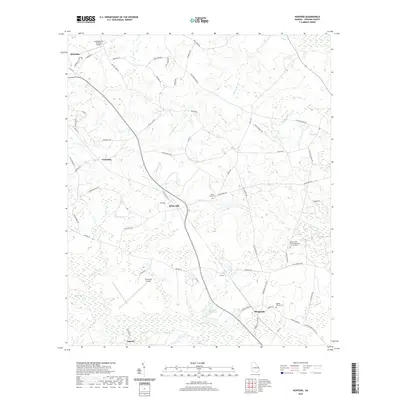
2020 Map of Hunters
USGS Topo · Published 2020About this map
Ogeechee Cr and its associated wetlands define the southern landscape of this Screven County region, where agricultural lands meet the dense drainage networks of the Georgia coastal plain. Smaller communities like Farmdale, White Hill, and Sheppards are connected by a web of local routes including Old Poor Robin Rd and Fox Hunters Rd. The area maintains a strong rural character, anchored by historic sites such as Black Creek United Methodist Church Cem and the Middle Ground Cem. A notable geographic feature is the Grist Mill Pond near the center of the quadrangle, suggesting early hydraulic industry in the area. Local aviation is supported by the Plantation Airpark and Landings East Sylvania Airport, which sit adjacent to the expanding southern reaches of Sylvania.
Find a feature on this map
63 named features on this map. Tap any name to fly to it.
Don’t see what you’re looking for? This feature index may not catch every label — zoom into the map to look around manually.
Map Details
Editions of this 2020 Hunters Map
This is the sole edition of this map. No revisions or reprints were ever made.
Other maps of this area

1918 · Oliver
USGS Topo · 1:62,500

1919 · Shirley
USGS Topo · 1:62,500

1920 · Hilltonia
USGS Topo · 1:62,500

1920 · Oliver
USGS Topo · 1:62,500

1920 · Peeples
USGS Topo · 1:62,500

1943 · Hilltonia
USGS Topo · 1:62,500

1943 · Peeples
USGS Topo · 1:62,500

1943 · Shirley
USGS Topo · 1:62,500

1943 · Millen
USGS Topo · 1:125,000

1943 · Oliver
USGS Topo · 1:62,500