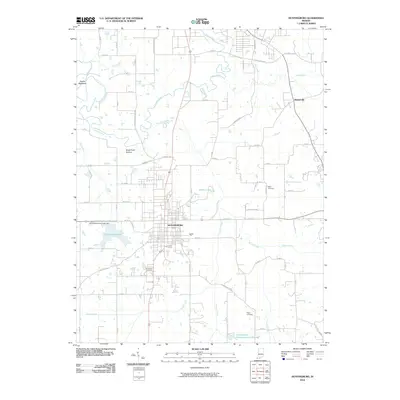
2010 Map of Huntingburg
USGS Topo · Published 2010About this map
Huntingburg anchors this Dubois County landscape, where urban grid patterns meet the winding courses of the Patoka River and its numerous tributaries. The city is defined by its water resources, featuring the Huntingburg City Lake Dam and the expansive Huntingburg Lake, along with local recreation spots like the Huntingburg Conservation Club Lake. The surrounding countryside is marked by distinct topographical features such as Devils Backbone and Duck Pond Bottom, suggesting the varied elevations of the Indiana terrain.
Find a feature on this map
48 named features on this map. Tap any name to fly to it.
Don’t see what you’re looking for? This feature index may not catch every label — zoom into the map to look around manually.
Map Details
Editions of this 2010 Huntingburg Map
This is the sole edition of this map. No revisions or reprints were ever made.
Other maps of this area

1900 · St Meinrad
USGS Topo · 1:62,500

1900 · De Gonia Springs
USGS Topo · 1:62,500

1902 · Ditney
USGS Topo · 1:125,000

1902 · Degonia Springs
USGS Topo · 1:62,500

1903 · St. Meinrad
USGS Topo · 1:62,500

1903 · Velpen
USGS Topo · 1:62,500

1946 · Jasper
USGS Topo · 1:24,000

1954 · Dubois
USGS Topo · 1:24,000

1954 · Huntingburg
USGS Topo · 1:24,000

1955 · Saint Anthony
USGS Topo · 1:24,000