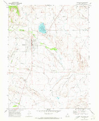
1969 Map of Huntington
USGS Topo · Published 1972About this map
Huntington serves as the central hub of this late-1960s Emery County landscape, where the town's grid is established west of Huntington Lake (STATE BEACH). The irrigation and water management infrastructure essential to this region is clearly visible, with the Cleveland Canal, North Ditch, and an Aqueduct moving water through the high desert. To the south, the settlement of Lawrence sits along Huntington Creek, surrounded by numerous washes like McElprang Wash and Guymon Wash that carve through the distinctive plateau features of Buffalo Bench and Fivemile Level Bench. Local social landmarks of the era are well-documented, including a Drive-in Theater south of town and the Jr HS, while the nearby Huntington Airport and various gravel and borrow pits suggest the mid-century industrial and transport activity of the valley.
Find a feature on this map
41 named features on this map. Tap any name to fly to it.
Don’t see what you’re looking for? This feature index may not catch every label — zoom into the map to look around manually.
Map Details
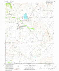
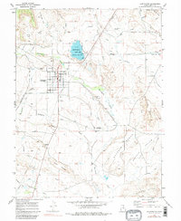
Editions of this 1969 Huntington Map
3 editions found
Other maps of this area

1885 · Manti
USGS Topo · 1:250,000

1886 · Price River
USGS Topo · 1:250,000

1895 · Manti
USGS Topo · 1:250,000

1896 · Price River
USGS Topo · 1:250,000

1923 · Castle Dale
USGS Topo · 1:62,500

1923 · Hiawatha
USGS Topo · 1:62,500

1925 · Castle Dale
USGS Topo · 1:62,500

1925 · Hiawatha
USGS Topo · 1:62,500

1956 · Price
USGS Topo · 1:250,000

1960 · Price
USGS Topo · 1:250,000