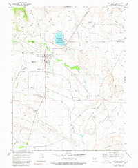
1969 Map of Huntington
USGS Topo · Published 1980About this map
The agricultural town of Huntington serves as the focal point of this late 1960s landscape, where a grid of streets meets the intricate irrigation network of the Huntington Canal and Cleveland Canal. This survey captures the region's reliance on water management in an arid climate, with numerous features like the North Ditch and Cleveland Center Ditch feeding the surrounding flats. To the north, Huntington Lake (designated as a state beach) provides a significant water body, while the town itself includes local landmarks such as the Jr HS and a Cem.
Find a feature on this map
51 named features on this map. Tap any name to fly to it.
Don’t see what you’re looking for? This feature index may not catch every label — zoom into the map to look around manually.
Map Details
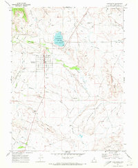
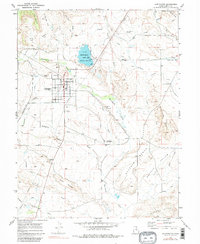
Editions of this 1969 Huntington Map
3 editions found
Other maps of this area

1885 · Manti
USGS Topo · 1:250,000

1886 · Price River
USGS Topo · 1:250,000

1895 · Manti
USGS Topo · 1:250,000

1896 · Price River
USGS Topo · 1:250,000

1923 · Castle Dale
USGS Topo · 1:62,500

1923 · Hiawatha
USGS Topo · 1:62,500

1925 · Castle Dale
USGS Topo · 1:62,500

1925 · Hiawatha
USGS Topo · 1:62,500

1956 · Price
USGS Topo · 1:250,000

1960 · Price
USGS Topo · 1:250,000