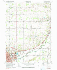
1972 Map of Huntington
USGS Topo · Published 1990About this map
Huntington sits at the southern edge of this survey, serving as a regional hub defined by its academic and industrial infrastructure in the early 1970s. The campus of Huntington College and schools such as St Marys Sch and Horace Mann Sch anchor the residential core, while the Norfolk and Western and Erie Lackawanna railroads intersect near the town center, signaling its role as a vital transportation node. To the east, the Old Indian Treaty Boundary cuts diagonally across the landscape, a surveyor’s line that remains a permanent fixture of local geography long after its initial demarcation.
Find a feature on this map
41 named features on this map. Tap any name to fly to it.
Don’t see what you’re looking for? This feature index may not catch every label — zoom into the map to look around manually.
Map Details
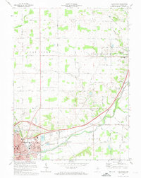
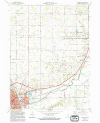
Editions of this 1972 Huntington Map
Other maps of this area

1950 · Andrews
USGS Topo · 1:24,000

1951 · Andrews
USGS Topo · 1:24,000

1952 · Majenica
USGS Topo · 1:24,000

1953 · Fort Wayne
USGS Topo · 1:250,000

1953 · Muncie
USGS Topo · 1:250,000

1955 · Markle
USGS Topo · 1:24,000

1955 · Bippus
USGS Topo · 1:24,000

1956 · Muncie
USGS Topo · 1:250,000

1956 · Fort Wayne
USGS Topo · 1:250,000

1956 · Huntington
USGS Topo · 1:24,000