
1953 Map of Huntington Lake
USGS Topo · Published 1955About this map
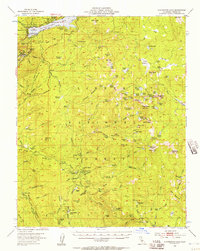
Huntington Lake Game Refuge serves as the focal point of this mid-century high Sierra landscape, where the waters of Huntington Lake are constrained by a spillway near Cedar Crest. The map reveals a dense network of organized recreational and industrial activity, from the Boy Scout Camp and Camp Aljato on the northern shores to the Pine Logging Camp and Bretz Mill further south. These sites, along with the Dinkey Creek Ranger Sta, suggest a region managed for both timber extraction and public alpine access.
Find a feature on this map
156 named features on this map. Tap any name to fly to it.
Don’t see what you’re looking for? This feature index may not catch every label — zoom into the map to look around manually.
Map Details
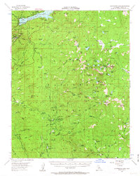
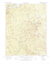
Editions of this 1953 Huntington Lake Map
4 editions found
Other maps of this area

1903 · Tehipite
USGS Topo · 1:125,000

1904 · Kaiser
USGS Topo · 1:125,000

1905 · Tehipite
USGS Topo · 1:125,000

1912 · Mt. Goddard
USGS Topo · 1:125,000

1922 · Trimmer
USGS Topo · 1:96,000

1924 · Dinuba
USGS Topo · 1:125,000

1942 · Watts Valley
USGS Topo · 1:62,500

1944 · Watts Valley
USGS Topo · 1:62,500

1947 · Mariposa
USGS Topo · 1:250,000

1948 · Fresno
USGS Topo · 1:250,000