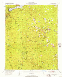
1953 Map of Huntington Lake
USGS Topo · Published 1957About this map
Huntington Lake serves as the focal point for this mid-century survey of the high Sierras, which highlights the intersection of recreation and industry within the Sierra National Forest. The map documents established seasonal enclaves such as Cedar Crest and the Huntington Lake Post Office, alongside remote youth camps like Boy Scout Camp and Camp Oljato. A distinct logging history is evident further south at Pine Logging Camp and Bretz Mill, while the lower elevations reveal the Mc Kinley Grove of Sierra Redwoods. The landscape is characterized by a high concentration of high-altitude meadows, including Exchequer Mdw and Miningtown Meadow, which are connected by historic routes like the Mono Trail. The presence of the Dinkey Creek Ranger Station and various gaging stations reflects the active federal management of water and forest resources during this era.
Find a feature on this map
138 named features on this map. Tap any name to fly to it.
Don’t see what you’re looking for? This feature index may not catch every label — zoom into the map to look around manually.
Map Details
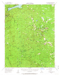
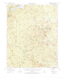
Editions of this 1953 Huntington Lake Map
4 editions found

Other maps of this area

1903 · Tehipite
USGS Topo · 1:125,000

1904 · Kaiser
USGS Topo · 1:125,000

1905 · Tehipite
USGS Topo · 1:125,000

1912 · Mt. Goddard
USGS Topo · 1:125,000

1922 · Trimmer
USGS Topo · 1:96,000

1924 · Dinuba
USGS Topo · 1:125,000

1942 · Watts Valley
USGS Topo · 1:62,500

1944 · Watts Valley
USGS Topo · 1:62,500

1947 · Mariposa
USGS Topo · 1:250,000

1948 · Fresno
USGS Topo · 1:250,000