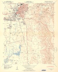
1950 Map of Huntsville
USGS Topo · Published 1950About this map
Huntsville stands at a pivotal transition in 1950, where its established textile and agricultural identity meets the burgeoning aerospace era. The map details the expansive Huntsville Arsenal and Redstone Arsenal grounds to the south, while the city's residential core expands through neighborhoods like Westlawn and Mayfair. To the east, the steep rise of Monte Sano Mountain and Green Mountain provides a sharp topographical boundary, sheltering Monte Sano State Park and rural features like O'Shaughnessy Point. The landscape is dotted with family history markers, from Maple Hill Cem near the city center to outlying church communities such as Mt Lebanon Ch. Hydrological features like the Blue Holes and Big Spring underscore the area's limestone geology, while the Southern Railway and N C & ST L tracks define the industrial corridors that sustained the city before its mid-century transformation.
Find a feature on this map
103 named features on this map. Tap any name to fly to it.
Don’t see what you’re looking for? This feature index may not catch every label — zoom into the map to look around manually.
Map Details
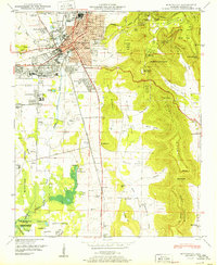
Editions of this 1950 Huntsville Map
2 editions found
Other maps of this area

1888 · Scottsboro
USGS Topo · 1:125,000

1888 · Huntsville
USGS Topo · 1:125,000

1892 · Huntsville
USGS Topo · 1:125,000

1892 · Scottsboro
USGS Topo · 1:125,000

1936 · Jeff
USGS Topo · 1:24,000

1936 · Triana
USGS Topo · 1:24,000

1936 · New Hope
USGS Topo · 1:24,000

1936 · Madison
USGS Topo · 1:24,000

1936 · Meridianville
USGS Topo · 1:24,000

1936 · Moontown
USGS Topo · 1:24,000