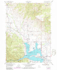
1955 Map of Huntsville
USGS Topo · Published 1988About this map
Huntsville sits at the confluence of several mountain drainages where the Middle Fork Ogden River and South Fork Ogden River feed into the prominent Pineview Reservoir. The landscape is defined by the high elevations of the Wasatch-Cache National Forest, showing a transition from the agricultural valleys near Eden and Liberty to the steep slopes of Broadmouth Canyon and Rattlesnake Canyon. This 1950s documentation shows the area's emerging recreation economy, featuring the Nordic Valley Ski Area and Powder Mountain Ski Area alongside traditional land uses.
Find a feature on this map
49 named features on this map. Tap any name to fly to it.
Don’t see what you’re looking for? This feature index may not catch every label — zoom into the map to look around manually.
Map Details
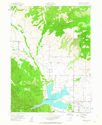
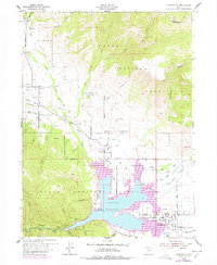
Editions of this 1955 Huntsville Map
4 editions found
Other maps of this area

1954 · Ogden
USGS Topo · 1:250,000

1955 · Ogden
USGS Topo · 1:24,000

1955 · Mantua
USGS Topo · 1:24,000

1955 · Huntsville
USGS Topo · 1:24,000

1955 · James Peak
USGS Topo · 1:24,000

1955 · North Ogden
USGS Topo · 1:24,000

1955 · Snow Basin
USGS Topo · 1:24,000

1958 · Ogden
USGS Topo · 1:250,000

1960 · Ogden
USGS Topo · 1:250,000

1961 · Morgan
USGS Topo · 1:62,500