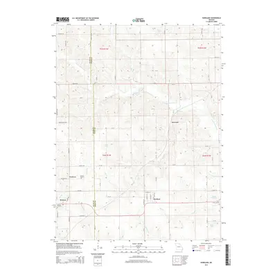
2015 Map of Hurdland
USGS Topo · Published 2015About this map
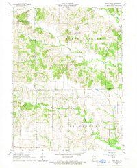
Hurdland and Brashear anchor this agricultural landscape along the county line between Adair and Knox Counties. The terrain is defined by the winding paths of the S Fork S Fabius River and the Little Fabius River, which create a complex network of drainage through Nick Br, Long Br, and Hog Br. These watercourses dictate the placement of local roads and the orientation of small-scale farming plots across the townships of t63n r13w and t62n r12w.
Find a feature on this map
79 named features on this map. Tap any name to fly to it.
Don’t see what you’re looking for? This feature index may not catch every label — zoom into the map to look around manually.
Map Details
Editions of this 2015 Hurdland Map
This is the sole edition of this map. No revisions or reprints were ever made.
Other maps of this area

1903 · Edina
USGS Topo · 1:125,000

1954 · Centerville
USGS Topo · 1:250,000

1957 · Centerville
USGS Topo · 1:250,000

1958 · Centerville
USGS Topo · 1:250,000
1965 · Edina
USGS Topo · 1:24,000
1965 · Novelty
USGS Topo · 1:24,000

1965 · Greensburg
USGS Topo · 1:24,000
1965 · Locust Hill
USGS Topo · 1:24,000

1966 · Brashear
USGS Topo · 1:24,000
1966 · Bible Grove
USGS Topo · 1:24,000