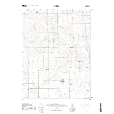
2017 Map of Hurdland
USGS Topo · Published 2017About this map
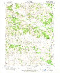
Hurdland and Brashear anchor this agricultural landscape along the Adair Co Knox Co border in the 2010s. The region is defined by the branching drainage of the S Fork S Fabius River, with smaller tributaries like Nick Br, Hog Br, and Democrat Cr carving through the countryside. This topographic study reveals a sparse but persistent settlement pattern, where small rural centers are connected by a grid of county roads and state highways. For genealogists, several local burial grounds are documented, including the International Order of Odd Fellows Cem and the Paulitown Cem. The map illustrates how human activity and infrastructure, such as Taylor Lake, have been integrated into the natural contours of the northern Missouri plains.
Find a feature on this map
80 named features on this map. Tap any name to fly to it.
Don’t see what you’re looking for? This feature index may not catch every label — zoom into the map to look around manually.
Map Details
Editions of this 2017 Hurdland Map
This is the sole edition of this map. No revisions or reprints were ever made.
Other maps of this area

1903 · Edina
USGS Topo · 1:125,000

1954 · Centerville
USGS Topo · 1:250,000

1957 · Centerville
USGS Topo · 1:250,000

1958 · Centerville
USGS Topo · 1:250,000
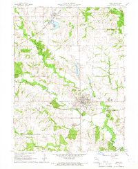
1965 · Edina
USGS Topo · 1:24,000
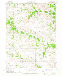
1965 · Novelty
USGS Topo · 1:24,000

1965 · Greensburg
USGS Topo · 1:24,000
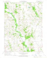
1965 · Locust Hill
USGS Topo · 1:24,000

1966 · Brashear
USGS Topo · 1:24,000
1966 · Bible Grove
USGS Topo · 1:24,000