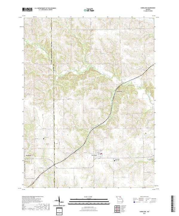
2021 Map of Hurdland
USGS Topo · Published 2021About this map
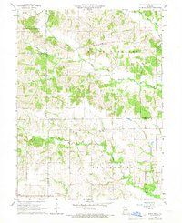
The agrarian boundary between Adair and Knox counties is defined by a dense network of tributaries including the S Fork S Fabius River and the Little Fabius River. In the southwest corner, the settlement of Brashear serves as a local hub near Brashear Cem, while Hurdland sits further east along State Hwy Z. The rural landscape is dotted with small family and community burial grounds such as Paultown Cem and Rock Creek Cem, which offer significant value for genealogical research in this portion of Northeast Missouri. Notable social infrastructure includes a site for the International Order of Odd near the Fellows Cem. The drainage patterns of Big Deer Br and Democrat Cr carve the terrain, illustrating the persistent importance of water resources to the local township structure and road network that connects outlying points like Kenwood.
Find a feature on this map
71 named features on this map. Tap any name to fly to it.
Don’t see what you’re looking for? This feature index may not catch every label — zoom into the map to look around manually.
Map Details
Editions of this 2021 Hurdland Map
This is the sole edition of this map. No revisions or reprints were ever made.
Other maps of this area

1903 · Edina
USGS Topo · 1:125,000

1954 · Centerville
USGS Topo · 1:250,000

1957 · Centerville
USGS Topo · 1:250,000

1958 · Centerville
USGS Topo · 1:250,000
1965 · Edina
USGS Topo · 1:24,000
1965 · Novelty
USGS Topo · 1:24,000

1965 · Greensburg
USGS Topo · 1:24,000
1965 · Locust Hill
USGS Topo · 1:24,000

1966 · Brashear
USGS Topo · 1:24,000
1966 · Bible Grove
USGS Topo · 1:24,000