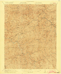
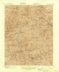
1917 Map of Hurley
USGS Topo · Published 1917About this map
Grundy and the surrounding coal-country hollows of the Cumberland Plateau are captured here just before the United States entered the Great War. The terrain is defined by the deep, winding incision of the Levisa Fork and its countless tributaries, creating a landscape where community life followed the creek beds. A remarkably dense network of mountain schools, such as Rowe Mountain School, Lester Fork School, and Ball Creek School, illustrates the decentralized nature of early 20th-century settlement in Buchanan County.
Find a feature on this map
65 named features on this map. Tap any name to fly to it.
Don’t see what you’re looking for? This feature index may not catch every label — zoom into the map to look around manually.
Map Details
Editions of this 1917 Hurley Map
5 editions found
Other maps of this area

1886 · Grundy
USGS Topo · 1:125,000

1887 · Warfield
USGS Topo · 1:125,000

1890 · Grundy
USGS Topo · 1:125,000

1891 · Tazewell
USGS Topo · 1:125,000

1891 · Oceana
USGS Topo · 1:125,000

1891 · Warfield
USGS Topo · 1:125,000

1892 · Grundy
USGS Topo · 1:125,000

1893 · Oceana
USGS Topo · 1:125,000

1895 · Tazewell
USGS Topo · 1:125,000

1897 · Tazewell
USGS Topo · 1:125,000