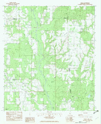
1982 Map of Hurley
USGS Topo · Published 1982About this map
The Es Catawpa River defines the central corridor of this Mississippi-Alabama borderland, where the winding river is flanked by numerous tributaries and prominent embankments like Yellow Bluff and Red Bluff. The community of Hurley serves as a local hub near the Mississippi Alabama state line, connected to the surrounding countryside by roads such as the Tanner Williams Road.
Find a feature on this map
32 named features on this map. Tap any name to fly to it.
Don’t see what you’re looking for? This feature index may not catch every label — zoom into the map to look around manually.
Map Details
Editions of this 1982 Hurley Map
2 editions found
Other maps of this area

1941 · Hurley
USGS Topo · 1:62,500

1941 · Vancleave
USGS Topo · 1:62,500

1941 · Lucedale
USGS Topo · 1:62,500

1942 · Wilmer
USGS Topo · 1:62,500

1943 · Lucedale
USGS Topo · 1:62,500

1943 · Hurley
USGS Topo · 1:62,500

1943 · Vancleave
USGS Topo · 1:62,500

1944 · Wilmer
USGS Topo · 1:62,500

1944 · Vancleave
USGS Topo · 1:62,500

1953 · Mobile
USGS Topo · 1:250,000