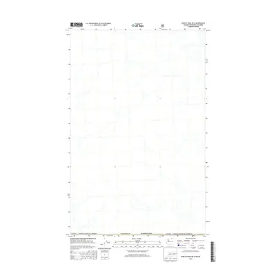
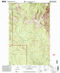
2014 Map of Hurley Peak OE N
USGS Topo · Published 2014About this map
The international border between Canada / United States of America defines this high-latitude survey, where the northern edge of Okanogan Co, Washington meets the British Columbia frontier. This 2014 edition focuses on the complex hydrography and undeveloped terrain along the 49th parallel. While the landscape is characterized by a dense network of unnamed streams and drainages, the primary historical significance lies in the precisely charted boundary line. As a modern digital product from the U.S. Geological Survey, the map provides a clean look at the natural hydrology and official borders of this remote cross-border region before newer forest service updates or land-use changes.
Find a feature on this map
3 named features on this map. Tap any name to fly to it.
Don’t see what you’re looking for? This feature index may not catch every label — zoom into the map to look around manually.
Map Details
Editions of this 2014 Hurley Peak OE N Map
This is the sole edition of this map. No revisions or reprints were ever made.
Other maps of this area

1906 · Chopaka
USGS Topo · 1:125,000

1954 · Okanogan
USGS Topo · 1:250,000

1956 · Loomis
USGS Topo · 1:62,500

1956 · Horseshoe Basin
USGS Topo · 1:62,500

1958 · Okanogan
USGS Topo · 1:250,000
1981 · Horseshoe Basin
USGS Topo · 1:24,000
1981 · Hurley Peak
USGS Topo · 1:24,000
1981 · Nighthawk
USGS Topo · 1:24,000

1984 · Oroville
USGS Topo · 1:100,000
2001 · Hurley Peak
USGS Topo · 1:24,000