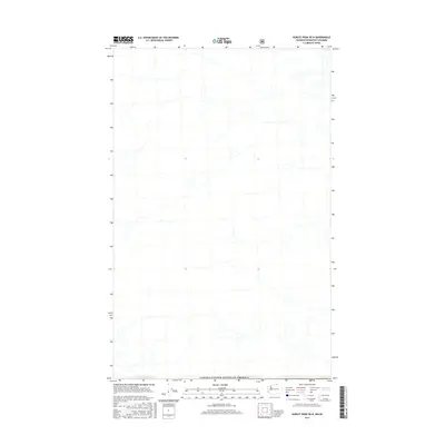
2017 Map of Hurley Peak OE N
USGS Topo · Published 2017About this map
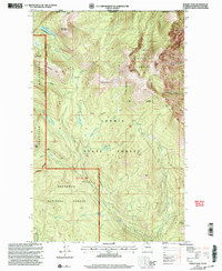
The international boundary of Canada/United States of America defines the southern extent of this 2017 survey, where the Okanogan-Similkameen region of British Columbia meets the northern edge of Washington state. The landscape is characterized by a dense network of high-elevation drainage systems and intermittent streams that feed into the larger river valleys beyond the map's margins. This specific quadrangle reflects the modern cartographic standards of the U.S. Geological Survey while documenting a remote section of the borderlands where topographic relief and water resource management are the primary features of the land. The presence of the border illustrates the continued importance of the 49th parallel as a geopolitical dividing line through the northern wilderness.
Find a feature on this map
1 named feature on this map. Tap any name to fly to it.
Don’t see what you’re looking for? This feature index may not catch every label — zoom into the map to look around manually.
Map Details
Editions of this 2017 Hurley Peak OE N Map
This is the sole edition of this map. No revisions or reprints were ever made.
Other maps of this area

1906 · Chopaka
USGS Topo · 1:125,000

1954 · Okanogan
USGS Topo · 1:250,000

1956 · Loomis
USGS Topo · 1:62,500

1956 · Horseshoe Basin
USGS Topo · 1:62,500

1958 · Okanogan
USGS Topo · 1:250,000
1981 · Horseshoe Basin
USGS Topo · 1:24,000
1981 · Hurley Peak
USGS Topo · 1:24,000
1981 · Nighthawk
USGS Topo · 1:24,000

1984 · Oroville
USGS Topo · 1:100,000
2001 · Hurley Peak
USGS Topo · 1:24,000