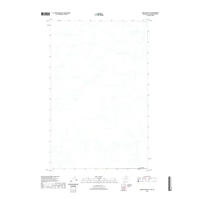
2020 Map of Hurley Peak OE N
USGS Topo · Published 2020About this map
The international border of Canada defines the southern extent of this high-altitude landscape in the northern reaches of the Okanogan-Similkameen region. Located just across the United States boundary, this area is characterized by a dense network of high-country drainage systems that flow through a largely undeveloped terrain. The map documents the intricate hydrography of the region as it was recorded between 2006 and 2019, reflecting the natural topography and watershed patterns prior to any significant modern infrastructure or settlement development in this specific quadrangle.
Find a feature on this map
1 named feature on this map. Tap any name to fly to it.
Don’t see what you’re looking for? This feature index may not catch every label — zoom into the map to look around manually.
Map Details
Editions of this 2020 Hurley Peak OE N Map
This is the sole edition of this map. No revisions or reprints were ever made.
Other maps of this area

1906 · Chopaka
USGS Topo · 1:125,000

1954 · Okanogan
USGS Topo · 1:250,000

1956 · Loomis
USGS Topo · 1:62,500

1956 · Horseshoe Basin
USGS Topo · 1:62,500

1958 · Okanogan
USGS Topo · 1:250,000
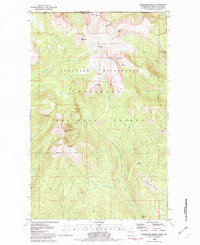
1981 · Horseshoe Basin
USGS Topo · 1:24,000
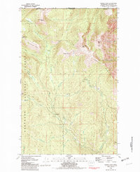
1981 · Hurley Peak
USGS Topo · 1:24,000
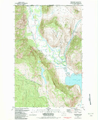
1981 · Nighthawk
USGS Topo · 1:24,000

1984 · Oroville
USGS Topo · 1:100,000
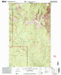
2001 · Hurley Peak
USGS Topo · 1:24,000