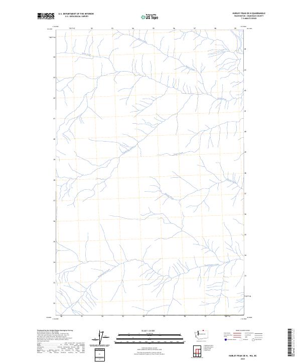
2023 Map of Hurley Peak OE N
USGS Topo · Published 2023About this map
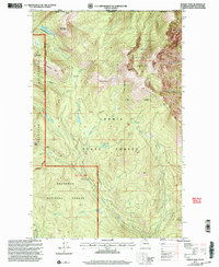
Snehumption Creek and several other drainage systems dominate this 2023 survey of the high country in Okanogan County. The landscape is defined by its complex network of watercourses, including Hunter Creek in the north and Susap Creek, which flows through the higher elevations. These named features suggest a terrain where water rights and drainage patterns were critical to the development of the region.
Find a feature on this map
6 named features on this map. Tap any name to fly to it.
Don’t see what you’re looking for? This feature index may not catch every label — zoom into the map to look around manually.
Map Details
Editions of this 2023 Hurley Peak OE N Map
This is the sole edition of this map. No revisions or reprints were ever made.
Other maps of this area

1906 · Chopaka
USGS Topo · 1:125,000

1954 · Okanogan
USGS Topo · 1:250,000

1956 · Loomis
USGS Topo · 1:62,500

1956 · Horseshoe Basin
USGS Topo · 1:62,500

1958 · Okanogan
USGS Topo · 1:250,000
1981 · Horseshoe Basin
USGS Topo · 1:24,000
1981 · Hurley Peak
USGS Topo · 1:24,000
1981 · Nighthawk
USGS Topo · 1:24,000

1984 · Oroville
USGS Topo · 1:100,000
2001 · Hurley Peak
USGS Topo · 1:24,000