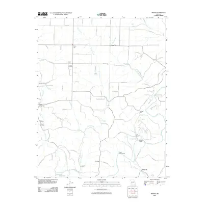
2012 Map of Hurley
USGS Topo · Published 2012About this map
Hurley and the rural communities of Christian County are captured here along the banks of Spring Creek and Crane Creek. This portion of Missouri is defined by a dense network of hollows and springs, where family names are etched into the landscape at McCullah Hollow and Smith Brown Hollow. The map reveals the local importance of water sources such as Hayes Spring and Jumbo Spring, which historically dictated the placement of settlements like Union City and White City.
Find a feature on this map
111 named features on this map. Tap any name to fly to it.
Don’t see what you’re looking for? This feature index may not catch every label — zoom into the map to look around manually.
Map Details
Editions of this 2012 Hurley Map
This is the sole edition of this map. No revisions or reprints were ever made.
Other maps of this area

1884 · Springfield
USGS Topo · 1:125,000

1886 · Greenfield
USGS Topo · 1:125,000

1886 · Springfield
USGS Topo · 1:125,000

1888 · Greenfield
USGS Topo · 1:125,000

1907 · Forsyth
USGS Topo · 1:125,000

1919 · Halltown
USGS Topo · 1:62,500

1942 · Aurora
USGS Topo · 1:62,500

1945 · Harrison
USGS Topo · 1:250,000

1945 · Aurora
USGS Topo · 1:62,500

1949 · Harrison
USGS Topo · 1:250,000