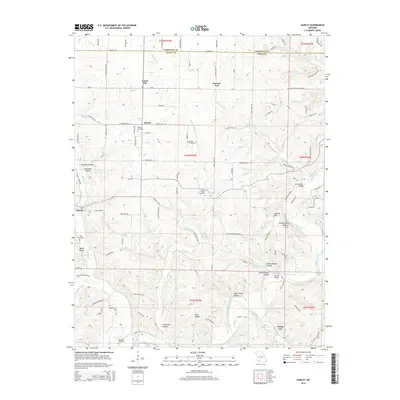
2015 Map of Hurley
USGS Topo · Published 2015About this map
Union City and Possum Trot anchor the northern landscape of this Missouri Ozarks region, where the terrain is deeply carved by a network of creeks and hollows. The James River snakes through the eastern section, crossed by the Hootentown Bridge near the striking Hootentown Natural Arch. This 2015 survey reveals a rural infrastructure defined by scattered family-named cemeteries and springs, including Wright Cemetery, Short Cemetery, and the notable Jumbo Spring.
Find a feature on this map
114 named features on this map. Tap any name to fly to it.
Don’t see what you’re looking for? This feature index may not catch every label — zoom into the map to look around manually.
Map Details
Editions of this 2015 Hurley Map
This is the sole edition of this map. No revisions or reprints were ever made.
Other maps of this area

1884 · Springfield
USGS Topo · 1:125,000

1886 · Greenfield
USGS Topo · 1:125,000

1886 · Springfield
USGS Topo · 1:125,000

1888 · Greenfield
USGS Topo · 1:125,000

1907 · Forsyth
USGS Topo · 1:125,000

1919 · Halltown
USGS Topo · 1:62,500

1942 · Aurora
USGS Topo · 1:62,500

1945 · Harrison
USGS Topo · 1:250,000

1945 · Aurora
USGS Topo · 1:62,500

1949 · Harrison
USGS Topo · 1:250,000