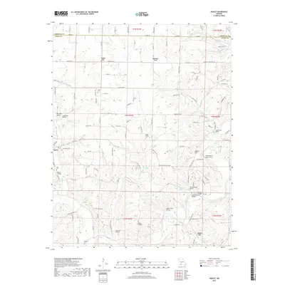
2017 Map of Hurley
USGS Topo · Published 2017About this map
Union City and the small crossroads of Possum Trot anchor this portion of the Ozark plateau where the borders of Christian and Stone counties meet. The landscape is defined by the winding course of the James River and its numerous tributaries, including Dry Crane Cr and Silver Lake Br. Topographical features such as the Hootentown Natural Arch and Hooten Hill provide distinctive landmarks for those tracing the river valley. Local history and genealogy interests are well-served by the presence of several family and community burial grounds, including Wright Cem, White Cem, and the Wright Chapel Cem located near the river's bend. The area's transit history is visible through the Hootentown Bridge and the McCall Bridge, reflecting the essential crossings that connected isolated rural communities like Hurley and White City.
Find a feature on this map
74 named features on this map. Tap any name to fly to it.
Don’t see what you’re looking for? This feature index may not catch every label — zoom into the map to look around manually.
Map Details
Editions of this 2017 Hurley Map
This is the sole edition of this map. No revisions or reprints were ever made.
Other maps of this area

1884 · Springfield
USGS Topo · 1:125,000

1886 · Greenfield
USGS Topo · 1:125,000

1886 · Springfield
USGS Topo · 1:125,000

1888 · Greenfield
USGS Topo · 1:125,000

1907 · Forsyth
USGS Topo · 1:125,000

1919 · Halltown
USGS Topo · 1:62,500

1942 · Aurora
USGS Topo · 1:62,500

1945 · Harrison
USGS Topo · 1:250,000

1945 · Aurora
USGS Topo · 1:62,500

1949 · Harrison
USGS Topo · 1:250,000