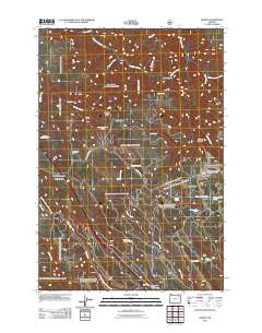
2011 Map of Huron
USGS Topo · Published 2011About this map
Meacham Creek and its complex network of tributaries, including Butcher Creek and Pelican Creek, define the landscape of this portion of Umatilla County. The area is marked by significant historical transit corridors, most notably the Oregon Trail Interpretive Park situated near the path of the Old Emigrant Hill Scenic Byway Rd. This high-elevation terrain is characterized by a mix of named flats and ridges, such as Strickland Flat and Walker Ridge, which provided the geographical context for early settlements and pioneer passages.
Find a feature on this map
34 named features on this map. Tap any name to fly to it.
Don’t see what you’re looking for? This feature index may not catch every label — zoom into the map to look around manually.
Map Details
Editions of this 2011 Huron Map
This is the sole edition of this map. No revisions or reprints were ever made.
Other maps of this area

1953 · Pendleton
USGS Topo · 1:250,000

1956 · Pendleton
USGS Topo · 1:250,000

1963 · Meacham Lake
USGS Topo · 1:24,000

1963 · Hilgard
USGS Topo · 1:24,000

1964 · Mc Intyre Creek
USGS Topo · 1:24,000

1964 · Duncan
USGS Topo · 1:24,000

1964 · Thimbleberry Mtn
USGS Topo · 1:24,000

1964 · Huron
USGS Topo · 1:24,000

1964 · Drumhill Ridge
USGS Topo · 1:24,000

1964 · Meacham
USGS Topo · 1:24,000