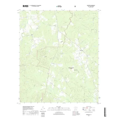
2019 Map of Hurstown
USGS Topo · Published 2019About this map
Sabine National Forest dominates the landscape of this Shelby County survey, revealing a territory defined by its dense creek networks and historic burial grounds. The settlement of Hurstown lies at the junction of local routes, while East Liberty sits further south along the forest boundary. For those researching family history, the map provides an unusually dense concentration of named cemeteries, including Neuville Cem, Biggers Cem, and the remote Sample Cem in the northern reaches.
Find a feature on this map
65 named features on this map. Tap any name to fly to it.
Don’t see what you’re looking for? This feature index may not catch every label — zoom into the map to look around manually.
Map Details
Editions of this 2019 Hurstown Map
This is the sole edition of this map. No revisions or reprints were ever made.
Other maps of this area

1944 · Logansport
USGS Topo · 1:62,500

1944 · Patroon
USGS Topo · 1:62,500

1953 · Alexandria
USGS Topo · 1:250,000

1953 · Palestine
USGS Topo · 1:250,000

1955 · Alexandria
USGS Topo · 1:250,000

1956 · Logansport
USGS Topo · 1:62,500

1956 · Patroon
USGS Topo · 1:62,500

1957 · Palestine
USGS Topo · 1:250,000

1958 · Center
USGS Topo · 1:62,500

1958 · San Augustine
USGS Topo · 1:62,500