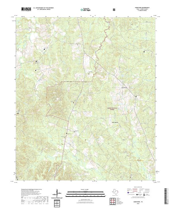
2022 Map of Hurstown
USGS Topo · Published 2022About this map
Hurstown and the surrounding woodlands of East Texas are documented here in detail, revealing a landscape defined by small settlements and a deep genealogical history. The area is heavily intersected by the Sabine National Forest, where numerous family and community burial grounds, such as Biggers Cem, McWilliams Cem, and the Neuville Family Cem, are preserved within the timberlands. The terrain rises to Big Hill and is drained by a complex network of waterways including Patroon Bayou, Bayou Siep, and Crooked Cr. This survey illustrates the modern rural infrastructure of Shelby County, showing how historical community centers like East Liberty continue to be anchored by institutions like the East Liberty Cem. The distribution of these features highlights the enduring pattern of decentralized hilltop settlements typical of this timber-rich region.
Find a feature on this map
66 named features on this map. Tap any name to fly to it.
Don’t see what you’re looking for? This feature index may not catch every label — zoom into the map to look around manually.
Map Details
Editions of this 2022 Hurstown Map
This is the sole edition of this map. No revisions or reprints were ever made.
Other maps of this area

1944 · Logansport
USGS Topo · 1:62,500

1944 · Patroon
USGS Topo · 1:62,500

1953 · Alexandria
USGS Topo · 1:250,000

1953 · Palestine
USGS Topo · 1:250,000

1955 · Alexandria
USGS Topo · 1:250,000

1956 · Logansport
USGS Topo · 1:62,500

1956 · Patroon
USGS Topo · 1:62,500

1957 · Palestine
USGS Topo · 1:250,000

1958 · Center
USGS Topo · 1:62,500

1958 · San Augustine
USGS Topo · 1:62,500