
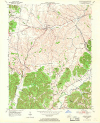
1952 Map of Hustonville
USGS Topo · Published 1953About this map
The rolling hills and knob country of the Casey Co Lincoln Co border define this landscape in the early 1950s. The agricultural community of Hustonville serves as a primary hub, situated near the confluence of Hanging Fork and Baughman Creek. Further east, the Southern railroad line passes through Mc Kinney, a vital transportation link for the region's produce and timber.
Find a feature on this map
46 named features on this map. Tap any name to fly to it.
Don’t see what you’re looking for? This feature index may not catch every label — zoom into the map to look around manually.
Map Details
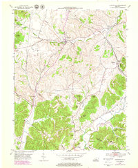
Editions of this 1952 Hustonville Map
3 editions found
Other maps of this area

1905 · Harrodsburg
USGS Topo · 1:125,000

1952 · Ellisburg
USGS Topo · 1:24,000

1952 · Halls Gap
USGS Topo · 1:24,000

1952 · Eubank
USGS Topo · 1:24,000

1952 · Liberty
USGS Topo · 1:24,000

1952 · Yosemite
USGS Topo · 1:24,000

1952 · Stanford
USGS Topo · 1:24,000

1952 · Junction City
USGS Topo · 1:24,000

1952 · Parksville
USGS Topo · 1:24,000

1957 · Winchester
USGS Topo · 1:250,000