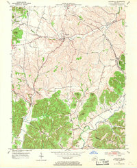
1952 Map of Hustonville
USGS Topo · Published 1969About this map
Hustonville serves as the primary hub in this mid-century topographic portrait of the borderlands between Lincoln and Casey Counties. The landscape is defined by the sharp transition from the level terrain of the Pennyroyal and Bluegrass regions into the more complex topography of the Knobs, characterized here by named elevations such as Gordon Lick Knob and Buzzard Knob. The Southern railroad line cuts through the eastern portion of the map, supporting local commerce in settlements like Mc Kinney and Chicken Bristle.
Find a feature on this map
46 named features on this map. Tap any name to fly to it.
Don’t see what you’re looking for? This feature index may not catch every label — zoom into the map to look around manually.
Map Details
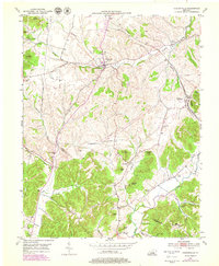
Editions of this 1952 Hustonville Map
3 editions found
Other maps of this area

1905 · Harrodsburg
USGS Topo · 1:125,000

1952 · Ellisburg
USGS Topo · 1:24,000

1952 · Halls Gap
USGS Topo · 1:24,000

1952 · Eubank
USGS Topo · 1:24,000

1952 · Hustonville
USGS Topo · 1:24,000

1952 · Liberty
USGS Topo · 1:24,000

1952 · Yosemite
USGS Topo · 1:24,000

1952 · Stanford
USGS Topo · 1:24,000

1952 · Junction City
USGS Topo · 1:24,000

1952 · Parksville
USGS Topo · 1:24,000