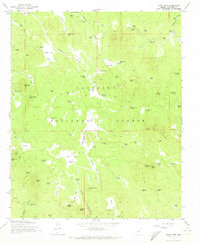
1965 Map of Hutch Mtn.
USGS Topo · Published 1972About this map
Coconino National Forest defines the character of this high-elevation landscape, where the topography is shaped by prominent peaks and a complex network of canyons and parks. Hutch Mountain, featuring a Radio Facility and lookout, stands as a primary landmark alongside Mahan Mtn and Jones Mtn. The region's cattle-ranching and timber heritage is evident through the presence of the Coyote Basin Ranch and K-T Ranch, supported by an extensive system of water management features such as Sawmill Springs, Seven Anchor Spring, and dozens of named stock tanks like Mulholland Tank.
Find a feature on this map
99 named features on this map. Tap any name to fly to it.
Don’t see what you’re looking for? This feature index may not catch every label — zoom into the map to look around manually.
Map Details
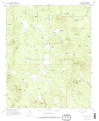
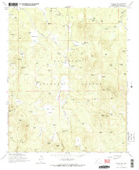
Editions of this 1965 Hutch Mtn. Map
4 editions found
Other maps of this area

1887 · Verde
USGS Topo · 1:250,000

1892 · Verde
USGS Topo · 1:250,000

1923 · Camp Verde
USGS Topo · 1:125,000

1932 · Camp Verde
USGS Topo · 1:125,000

1936 · Camp Verde
USGS Topo · 1:125,000

1954 · Holbrook
USGS Topo · 1:250,000

1957 · Holbrook
USGS Topo · 1:250,000

1958 · Holbrook
USGS Topo · 1:250,000

1960 · Holbrook
USGS Topo · 1:250,000
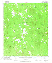
1965 · Hutch Mtn.
USGS Topo · 1:24,000