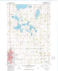
1982 Map of Hutchinson East
USGS Topo · Published 1982About this map
Hutchinson serves as the focal point of this regional study, situated along the Crow River during a period of steady development in McLeod County. The landscape is defined by an extensive system of glacial lakes and wetlands, including prominent bodies like Lake Jennie, Lake Byron, and Lake Hook. The drainage patterns are clearly visible through the numerous ditches and the transition of former water bodies into the Mud Lakebed and Benjamin Lakebed.
Find a feature on this map
53 named features on this map. Tap any name to fly to it.
Don’t see what you’re looking for? This feature index may not catch every label — zoom into the map to look around manually.
Map Details
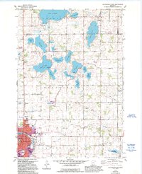
Editions of this 1982 Hutchinson East Map
2 editions found
Other maps of this area

1953 · New Ulm
USGS Topo · 1:250,000

1953 · Saint Cloud
USGS Topo · 1:250,000

1957 · Saint Cloud
USGS Topo · 1:250,000

1957 · New Ulm
USGS Topo · 1:250,000

1958 · New Ulm
USGS Topo · 1:250,000

1958 · Saint Cloud
USGS Topo · 1:250,000

1958 · Glencoe
USGS Topo · 1:62,500

1958 · Dassel
USGS Topo · 1:62,500

1958 · Cokato
USGS Topo · 1:62,500

1958 · Hutchinson
USGS Topo · 1:62,500
Featured Places
- Hutchinson, MN
- Rich Valley Township, MN
- Hassan Valley Township, MN
- Collinwood Township, MN
- Hale Township, MN