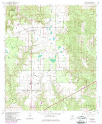
1960 Map of Huxford
USGS Topo · Published 1987About this map
The settlement of Huxford serves as a central hub in this Escambia County landscape, situated at the intersection of a prominent Burlington Northern line and a long-standing railroad grade. The map illustrates a region balanced between state-managed conservation and agricultural industry, prominently featuring the Little River State Forest to the north and the sprawling Atmore State Prison Farm to the south. Local community landmarks are well-documented, including Huxford Church and the Huxford Lookout Tower. Genealogists will find value in the clear markings of Sardis Church Cemetery and Miller Cemetery. The hydrology of the area is defined by numerous drainage systems such as Chitterling Creek and Wet Weather Creek, while the Edward Hauss State Forest Nursery indicates the area's historical importance to Alabama forestry.
Find a feature on this map
21 named features on this map. Tap any name to fly to it.
Don’t see what you’re looking for? This feature index may not catch every label — zoom into the map to look around manually.
Map Details
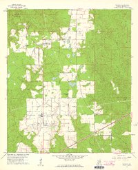
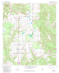
Editions of this 1960 Huxford Map
4 editions found
Other maps of this area

1942 · Perdido
USGS Topo · 1:62,500

1944 · Perdido
USGS Topo · 1:62,500

1953 · Andalusia
USGS Topo · 1:250,000

1957 · Andalusia
USGS Topo · 1:250,000

1960 · Atmore
USGS Topo · 1:24,000

1960 · Huxford
USGS Topo · 1:24,000

1960 · Barnett Crossroads
USGS Topo · 1:24,000
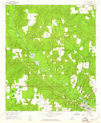
1960 · Flomaton
USGS Topo · 1:24,000

1972 · Frisco City SE
USGS Topo · 1:24,000

1972 · Uriah East
USGS Topo · 1:24,000