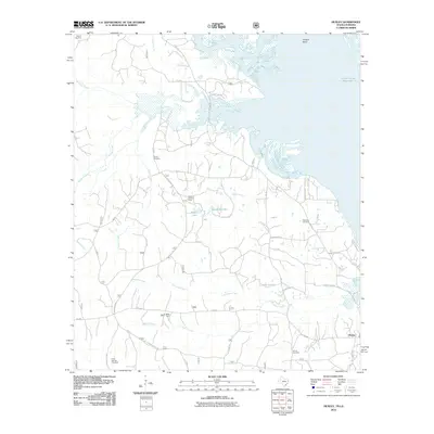
2010 Map of Huxley
USGS Topo · Published 2010About this map
The Toledo Bend Reservoir dominates the eastern and northern reaches of this East Texas landscape, where the inundated valleys of Tenaha Bayou and Flat Fork Creek meet the Louisiana border. Near the shoreline, the small community of Huxley serves as a focal point for a network of county roads and forest routes that weave through the piney woods. To the west, the Tenaha Lookout Tower stands as a sentinel over the undulating terrain between Pauls Creek and Grannies Creek.
Find a feature on this map
51 named features on this map. Tap any name to fly to it.
Don’t see what you’re looking for? This feature index may not catch every label — zoom into the map to look around manually.
Map Details
Editions of this 2010 Huxley Map
This is the sole edition of this map. No revisions or reprints were ever made.
Other maps of this area

1944 · Logansport
USGS Topo · 1:62,500

1944 · Patroon
USGS Topo · 1:62,500

1953 · Alexandria
USGS Topo · 1:250,000

1953 · Palestine
USGS Topo · 1:250,000

1955 · Alexandria
USGS Topo · 1:250,000

1956 · Logansport
USGS Topo · 1:62,500

1956 · Patroon
USGS Topo · 1:62,500

1957 · Palestine
USGS Topo · 1:250,000

1958 · Center
USGS Topo · 1:62,500

1958 · San Augustine
USGS Topo · 1:62,500