
1956 Map of Hyannis Peak
USGS Topo · Published 1958About this map
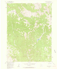
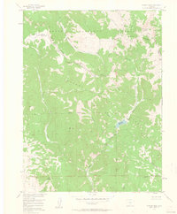
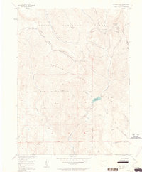
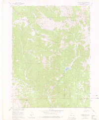
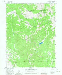
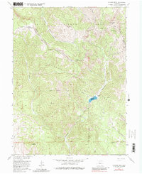
The Continental Divide winds through this mid-century high-country survey, marking the jagged boundary between Routt National Forest and Arapaho National Forest. This high-altitude landscape is defined by the Rabbit Ears Range, with Hyannis Peak and Sheep Mtn anchoring the northern terrain. Unlike the more developed valley floors, this area's economy in the 1950s was tied to remote outposts and natural resources, evidenced by the Hendricks Ranch near the Matheson Reservoir and scattered Mines near the base of Coal Mountain. The intricate drainage system, including Troublesome Creek and Arapaho Creek, flows from these peaks, while primitive access is provided by the Arapaho Creek Trail and Siebert Trail. The map also documents the political geography of the era, following the Jackson and Grand County line as it crests the mountain ridges.
Find a feature on this map
32 named features on this map. Tap any name to fly to it.
Don’t see what you’re looking for? This feature index may not catch every label — zoom into the map to look around manually.
Map Details
Editions of this 1956 Hyannis Peak Map
7 editions found
Other maps of this area

1954 · Craig
USGS Topo · 1:250,000

1956 · Kremmling
USGS Topo · 1:62,500

1956 · Spicer Peak
USGS Topo · 1:24,000

1956 · Parkview Mountain
USGS Topo · 1:24,000

1956 · Buffalo Peak
USGS Topo · 1:24,000

1956 · Whiteley Peak
USGS Topo · 1:24,000

1956 · Rand
USGS Topo · 1:24,000

1956 · Hyannis Peak
USGS Topo · 1:62,500

1956 · Rand
USGS Topo · 1:62,500

1957 · Craig
USGS Topo · 1:250,000