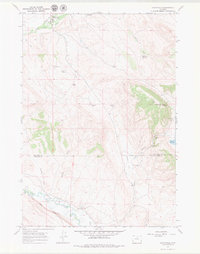
1967 Map of Hyattville
USGS Topo · Published 1979About this map
Hyattville serves as the focal point of this 1960s landscape, situated at the confluence of Paint Rock Creek and Medicine Lodge Creek. The map details a ranching and agricultural economy dependent on complex water management, evidenced by the presence of The West Ditch and numerous irrigation points such as South Paint Rock Reservoir and Renner Reservoir. The terrain transitions from the alluvial bottomlands of the Nowood River in the south to the higher elevations of Cedar Mountain and Blue Ridge.
Find a feature on this map
29 named features on this map. Tap any name to fly to it.
Don’t see what you’re looking for? This feature index may not catch every label — zoom into the map to look around manually.
Map Details
Editions of this 1967 Hyattville Map
2 editions found
Other maps of this area

1899 · Cloud peak
USGS Topo · 1:125,000

1901 · Cloud Peak
USGS Topo · 1:125,000

1955 · Sheridan
USGS Topo · 1:250,000

1958 · Sheridan
USGS Topo · 1:250,000

1960 · Flitner Reservoir
USGS Topo · 1:24,000

1960 · Hyatt Ranch
USGS Topo · 1:24,000

1962 · Sheridan
USGS Topo · 1:250,000
1967 · Hyattville
USGS Topo · 1:24,000
1967 · Weintz Draw
USGS Topo · 1:24,000
1967 · Broom Draw
USGS Topo · 1:24,000