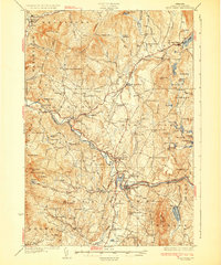
1930 Map of Hyde Park
USGS Topo · Published 1930About this map
The Lamoille River carves a deep valley through this 1930 survey of Lamoille County, serving as the central artery for the region's transport and settlement. Along its banks, the St Johnsbury and Lake Champlain RR connects manufacturing and agricultural hubs like Johnson and Morrisville. The landscape is defined by the transition from riverine industry to the high peaks of the Green Mountains, including Sterling Mtn and White Face Mtn.
Find a feature on this map
112 named features on this map. Tap any name to fly to it.
Don’t see what you’re looking for? This feature index may not catch every label — zoom into the map to look around manually.
Map Details
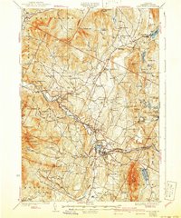
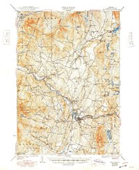
Editions of this 1930 Hyde Park Map
4 editions found

Other maps of this area

1919 · Montgomery
USGS Topo · 1:62,500

1919 · Montpelier
USGS Topo · 1:62,500

1920 · Franklin Pond
USGS Topo · 1:62,500

1920 · Montgomery
USGS Topo · 1:62,500

1920 · Irasburg
USGS Topo · 1:62,500

1921 · Richmond
USGS Topo · 1:48,000

1921 · Montpelier
USGS Topo · 1:62,500

1922 · Enosburg Falls
USGS Topo · 1:48,000

1923 · Irasburg
USGS Topo · 1:48,000

1924 · Camels Hump
USGS Topo · 1:62,500