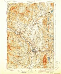
1930 Map of Hyde Park
USGS Topo · Published 1941About this map
The Lamoille River and the St Johnsbury and Lake Champlain RR anchor the industrial and social landscape of Lamoille County in this pre-war survey. This era shows a network of rural schoolhouses, such as Davis Neighborhood Sch and Hillside Sch, serving decentralized mountain communities. Industry is represented by the Talc Mine near North Hyde Park, while recreation and conservation are evident along the Long Trail and Green Mountain Trail, passing through high points like Laraway Mtn and White Face Mtn. The map preserves the original settlement patterns of towns like Johnson, Morrisville, and Hyde Park before modern highway expansion, including local landmarks like the Fairgrounds and the waters of Lake Eden.
Find a feature on this map
95 named features on this map. Tap any name to fly to it.
Don’t see what you’re looking for? This feature index may not catch every label — zoom into the map to look around manually.
Map Details
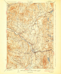
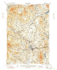
Editions of this 1930 Hyde Park Map
4 editions found

Other maps of this area

1919 · Montgomery
USGS Topo · 1:62,500

1919 · Montpelier
USGS Topo · 1:62,500

1920 · Franklin Pond
USGS Topo · 1:62,500

1920 · Montgomery
USGS Topo · 1:62,500

1920 · Irasburg
USGS Topo · 1:62,500

1921 · Richmond
USGS Topo · 1:48,000

1921 · Montpelier
USGS Topo · 1:62,500

1922 · Enosburg Falls
USGS Topo · 1:48,000

1923 · Irasburg
USGS Topo · 1:48,000

1924 · Camels Hump
USGS Topo · 1:62,500