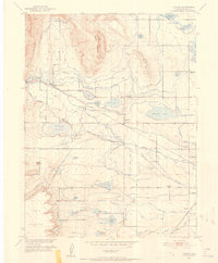
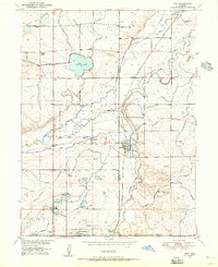
1950 Map of Hygiene
USGS Topo · Published 1952About this map
St Vrain Creek and a complex network of irrigation ditches dominate this mid-century landscape west of Longmont. The settlement of Hygiene serves as a central hub, surrounded by family-named water features like McIntosh Lake, Burch Lake, and Mc Call Lake. This 1950s survey captures a rural community in transition, noting facilities like the Hygiene School (Aband) and Bashor School (Aband) alongside active institutions such as the Altona School and the Swedish-founded Ryssby Ch.
Find a feature on this map
64 named features on this map. Tap any name to fly to it.
Don’t see what you’re looking for? This feature index may not catch every label — zoom into the map to look around manually.
Map Details
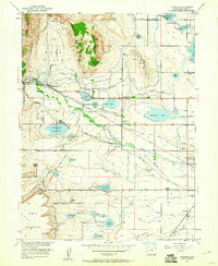
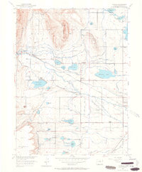
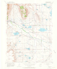
Editions of this 1950 Hygiene Map
5 editions found
Other maps of this area

1902 · Boulder
USGS Topo · 1:62,500

1904 · Niwot
USGS Topo · 1:62,500

1904 · Boulder
USGS Topo · 1:62,500

1905 · Mount Olympus
USGS Topo · 1:62,500

1906 · Loveland
USGS Topo · 1:62,500

1907 · Mount Olympus
USGS Topo · 1:62,500

1908 · Loveland
USGS Topo · 1:62,500

1950 · Hygiene
USGS Topo · 1:24,000
1950 · Erie
USGS Topo · 1:24,000

1950 · Niwot
USGS Topo · 1:24,000