
1950 Map of Hygiene
USGS Topo · Published 1952About this map
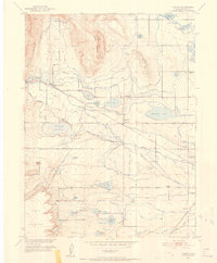
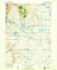
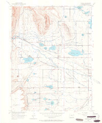
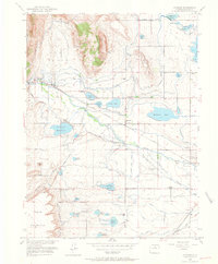
St Vrain Creek and a dense network of irrigation works define this agricultural landscape at the edge of the foothills. The settlement of Hygiene serves as a central hub, while the surrounding plains are marked by numerous water storage projects including McIntosh Lake, Clover Basin Reservoir, and Lagerman Reservoir. These reservoirs, fed by the Supply Canal and Highland Ditch, supported a robust farming economy and the nearby sugar beet industry centered in Longmont.
Find a feature on this map
66 named features on this map. Tap any name to fly to it.
Don’t see what you’re looking for? This feature index may not catch every label — zoom into the map to look around manually.
Map Details
Editions of this 1950 Hygiene Map
5 editions found
Other maps of this area

1902 · Boulder
USGS Topo · 1:62,500

1904 · Niwot
USGS Topo · 1:62,500

1904 · Boulder
USGS Topo · 1:62,500

1905 · Mount Olympus
USGS Topo · 1:62,500

1906 · Loveland
USGS Topo · 1:62,500

1907 · Mount Olympus
USGS Topo · 1:62,500

1908 · Loveland
USGS Topo · 1:62,500
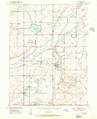
1950 · Erie
USGS Topo · 1:24,000

1950 · Niwot
USGS Topo · 1:24,000
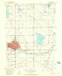
1950 · Longmont
USGS Topo · 1:24,000