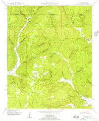
1948 Map of Hytop
USGS Topo · Published 1956About this map
Cumberland Plateau terrain defines this post-war landscape, where the Alabama-Tennessee state line cuts across high ridges and deep hollows. The settlement of Hytop sits centrally atop the plateau, while the small community of Jericho is found to the north near the Turkey Walls of Jericho Creek. The map reveals a high concentration of family-named landmarks and local burial grounds, including Clark Cem, Culver Cem, and Knight Cem, which provide essential points of reference for genealogical research in this part of Jackson County.
Find a feature on this map
62 named features on this map. Tap any name to fly to it.
Don’t see what you’re looking for? This feature index may not catch every label — zoom into the map to look around manually.
Map Details
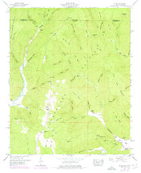
Editions of this 1948 Hytop Map
2 editions found
Other maps of this area

1886 · Stevenson
USGS Topo · 1:125,000

1888 · Scottsboro
USGS Topo · 1:125,000

1892 · Scottsboro
USGS Topo · 1:125,000

1892 · Stevenson
USGS Topo · 1:125,000

1895 · Stevenson
USGS Topo · 1:125,000

1895 · Sewanee
USGS Topo · 1:125,000

1928 · Decherd
USGS Topo · 1:62,500

1936 · Wannville
USGS Topo · 1:24,000

1936 · Sinking Cove
USGS Topo · 1:24,000

1936 · Beans Creek
USGS Topo · 1:24,000