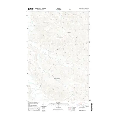
2014 Map of Ice Box Canyon
USGS Topo · Published 2014About this map
The Little Missouri National Grassland dominates this portion of McKenzie County, revealing a complex network of drainage systems and high-plains topography. The Little Missouri River snakes through the western edge of the sheet, while prominent features like Ice Box Canyon and Flat Top Butte define the local relief. This landscape illustrates the intersection of conservation land and resource extraction, notably marked by the Flat Top Butte Oil Field in the northeast. The hydraulic pattern is largely dictated by tributaries such as Beicegel Cr, Little Beicegel Cr, and Bummer Cr, which carve through the badlands-adjacent terrain. Human infrastructure is limited primarily to Co Rte 50 and a series of section roads providing access to the energy operations within the grassland boundaries.
Find a feature on this map
9 named features on this map. Tap any name to fly to it.
Don’t see what you’re looking for? This feature index may not catch every label — zoom into the map to look around manually.
Map Details
Editions of this 2014 Ice Box Canyon Map
This is the sole edition of this map. No revisions or reprints were ever made.
Other maps of this area
1953 · Watford City
USGS Topo · 1:250,000
1957 · Watford City
USGS Topo · 1:250,000
1958 · Sperati Point
USGS Topo · 1:24,000
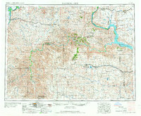
1967 · Watford City
USGS Topo · 1:250,000
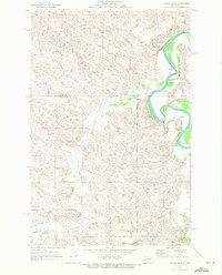
1970 · Eagle Draw
USGS Topo · 1:24,000
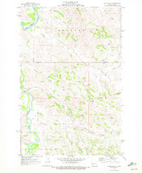
1970 · Hanks Gully
USGS Topo · 1:24,000
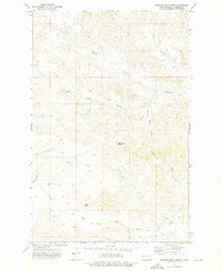
1972 · Burning Mine Butte
USGS Topo · 1:24,000
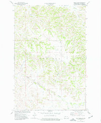
1974 · Wolf Coulee
USGS Topo · 1:24,000
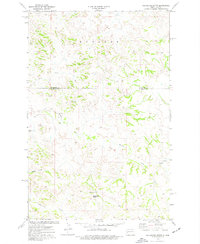
1974 · Squaretop Butte
USGS Topo · 1:24,000
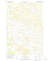
1974 · Ice Box Canyon
USGS Topo · 1:24,000