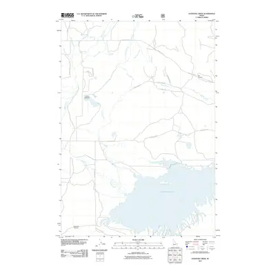
2011 Map of Icehouse Creek
USGS Topo · Published 2011About this map
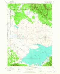
Island Park Reservoir dominates the southern landscape of this Fremont County region, where the Icehouse Creek Dam regulates the flow of Icehouse Creek into the larger basin. The drainage network is dense with numerous seasonal and perennial flows including Willow Creek, Bunkhouse Creek, and Sheridan Creek, which meander through the flats before reaching the reservoir. The northern portion of the map transitions into more defined relief, marked by Dry Canyon and Porcupine Canyon.
Find a feature on this map
26 named features on this map. Tap any name to fly to it.
Don’t see what you’re looking for? This feature index may not catch every label — zoom into the map to look around manually.
Map Details
Editions of this 2011 Icehouse Creek Map
This is the sole edition of this map. No revisions or reprints were ever made.
Other maps of this area
1950 · Upper Red Rock Lake
USGS Topo · 1:62,500

1955 · Ashton
USGS Topo · 1:250,000
1958 · Ashton
USGS Topo · 1:250,000
1960 · Ashton
USGS Topo · 1:250,000
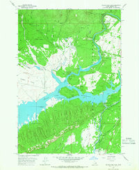
1964 · Island Park Dam
USGS Topo · 1:24,000
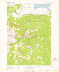
1964 · Sawtell PK
USGS Topo · 1:24,000
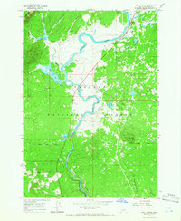
1964 · Last Chance
USGS Topo · 1:24,000
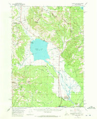
1964 · Henrys Lake
USGS Topo · 1:62,500
1965 · Icehouse Creek
USGS Topo · 1:24,000
1965 · Crystal Butte
USGS Topo · 1:24,000