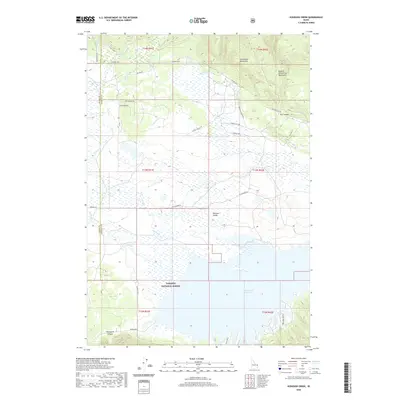
2020 Map of Icehouse Creek
USGS Topo · Published 2020About this map
Island Park Reservoir dominates the southern landscape of this Idaho quadrangle, where the northern waters meet the foothills of the Centennial Mountains. Within the Targhee National Forest, the terrain transitions from the high peaks of the Eastern Centennial Mountains down into the broad expanse of Shotgun Valley. A complex network of drainage systems, including Icehouse Cr, Sheep Cr, and Sheridan Cr, flows through the meadows and timbered slopes toward the reservoir. The map reveals modern access via Kilgore-Yale Rd and Old Kilgore Rd, while also noting the specific scar of the Bishop Burn near Porcupine Canyon. This documentation of the upper Snake River watershed shows the contemporary balance between recreational water resources and managed forest lands.
Find a feature on this map
39 named features on this map. Tap any name to fly to it.
Don’t see what you’re looking for? This feature index may not catch every label — zoom into the map to look around manually.
Map Details
Editions of this 2020 Icehouse Creek Map
This is the sole edition of this map. No revisions or reprints were ever made.
Other maps of this area
1950 · Upper Red Rock Lake
USGS Topo · 1:62,500

1955 · Ashton
USGS Topo · 1:250,000
1958 · Ashton
USGS Topo · 1:250,000
1960 · Ashton
USGS Topo · 1:250,000
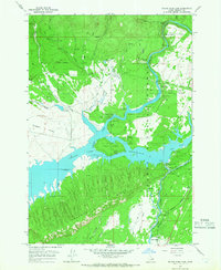
1964 · Island Park Dam
USGS Topo · 1:24,000
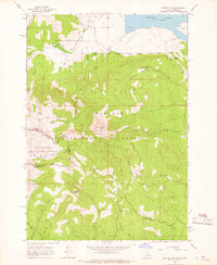
1964 · Sawtell PK
USGS Topo · 1:24,000
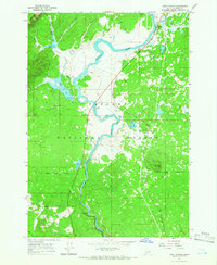
1964 · Last Chance
USGS Topo · 1:24,000
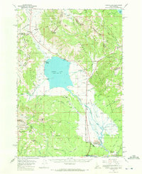
1964 · Henrys Lake
USGS Topo · 1:62,500
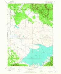
1965 · Icehouse Creek
USGS Topo · 1:24,000
1965 · Crystal Butte
USGS Topo · 1:24,000