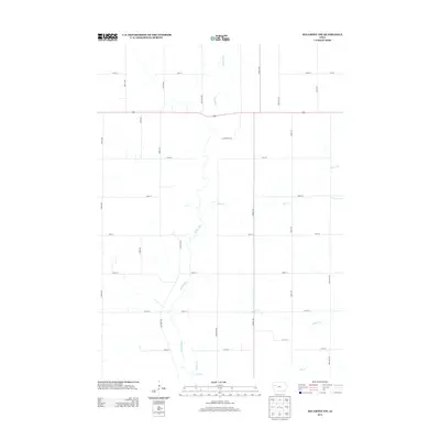
2013 Map of Ida Grove NW
USGS Topo · Published 2013About this map
The Maple River meanders southward through the agricultural heart of northwestern Iowa, defining the drainage patterns for this section of Sac County. The landscape is characterized by a precise grid of rural corridors, including north-south routes like Keystone Ave and Landmark Ave, and east-west roads such as 170th St and 210th St. This arrangement reflects the enduring legacy of the Public Land Survey System, which organized the Midwest's prairie into productive farmsteads.
Find a feature on this map
22 named features on this map. Tap any name to fly to it.
Don’t see what you’re looking for? This feature index may not catch every label — zoom into the map to look around manually.
Map Details
Editions of this 2013 Ida Grove NW Map
This is the sole edition of this map. No revisions or reprints were ever made.
Other maps of this area

1954 · Fort Dodge
USGS Topo · 1:250,000

1957 · Fort Dodge
USGS Topo · 1:250,000

1958 · Fort Dodge
USGS Topo · 1:250,000

1967 · Holstein
USGS Topo · 1:24,000

1967 · Ida Grove
USGS Topo · 1:24,000

1967 · Battle Creek
USGS Topo · 1:24,000

1967 · Ida Grove NW
USGS Topo · 1:24,000

1969 · Galva
USGS Topo · 1:24,000

1969 · Quimby SE
USGS Topo · 1:24,000

1979 · Schaller North
USGS Topo · 1:24,000